
Follow a Kingston Street Address
Kingston has no official open web list of every current resident. An address is a steadier starting point. The street directory trail begins with the postal form of the address, then uses the county map to identify the parcel. The assessor’s owner field and the recorded deed chain answer ownership questions at their own stated dates. A directory entry or election record can add a separate, time-bound indication of a person connected to the address. Keep the record date beside each result.
Historic labels need care. The present city joined the Village of Kingston, the Village of Rondout, and the Hamlet of Wilbur in 1872. A street record can therefore be indexed under Kingston, Rondout, or Wilbur. Comparing the number, street, parcel, and record date avoids treating a changed label as a different place.
- Use USPS ZIP Code Lookup to normalize the delivery address. Retain the returned form and the date of the query.
- Search the Ulster County Parcel Viewer by address. If the result is broad or empty, try the street name, the owner’s last name, or section-block narrowing.
- Check the Kingston Assessor route for the assessment record, roll date, owner field, physical facts, exemptions, and any separate mailing field.
- Use the Ulster County Clerk land-record route to trace conveyances. Search both grantor and grantee names and preserve the book/page or instrument reference.
- For a lawful election-record request, use the Ulster County Board of Elections contact route. Then compare dated historical listings rather than treating a single result as present occupancy.
Note: A successful address match identifies a delivery or property record, not an open roster of everyone who may live there.
Normalize Kingston Street Names First
The postal version of a street gives the parcel search a clean starting form. USPS offers searches by address, by city and state, and for cities by ZIP. Its address route accepts street, city, and state, and another route accepts street and ZIP. USPS can test delivery formatting, but it does not establish municipal limits or identify a mail recipient.
Then use the county viewer to establish situs, the physical location carried by the property record. An abbreviated suffix, a unit, a corner parcel, or a historic label can cause a miss. Test directional abbreviations, numbered streets, house-number ranges, and the historic Rondout or Wilbur label where the date calls for it. Record the query term and map date, because later searches can return a changed map layer.
The county viewer supports address, owner, and parcel-number searching. It can also open Complete Parcel Information, street-level imagery, and aerial imagery after a parcel is selected. That makes it a useful Kingston street directory tool for matching one normalized address to the county’s geographic identifier.
Kingston Street Directory Parcel Fields
The assessor describes the property data rather than publishing a confirmed occupancy list. Its materials point to assessment rolls, parcel search, tax maps, GIS maps, mailing-address correction, and grievance information. The live Image Mate field labels were not fully captured in the research, so the table preserves only the documented search and record fields instead of guessing at a current form.
| Field or search path | Type | Required | Documented use or limit |
|---|---|---|---|
| Owner name | Parcel Viewer search | No | Use a last name when an address search is too broad or has no result. |
| Address | Parcel Viewer search | No | Match the parcel to the street; try a street-only search when needed. |
| Parcel number | Parcel Viewer search | No | Use as the bridge from the map to assessment and deed work. |
| Section-block | Parcel Viewer narrowing | No | Useful where a search returns many parcels. |
| Owner, roll data, physical facts, exemptions, mailing address | Assessor record | Varies by route | Documented assessment content; live Image Mate labels were not fully exposed. |
The assessor describes style, year built, size, age, condition, ownership, and exemptions. The assessment calendar uses July 1 as the prior-year valuation date, March 1 for taxable status and exemption filing, May 1 for the tentative roll, and the fourth Tuesday in May for grievance day. Those dates explain the record’s context. They do not turn the owner field into a real-time residency field.
Image Mate is an assessment portal linked from the Kingston assessor route.
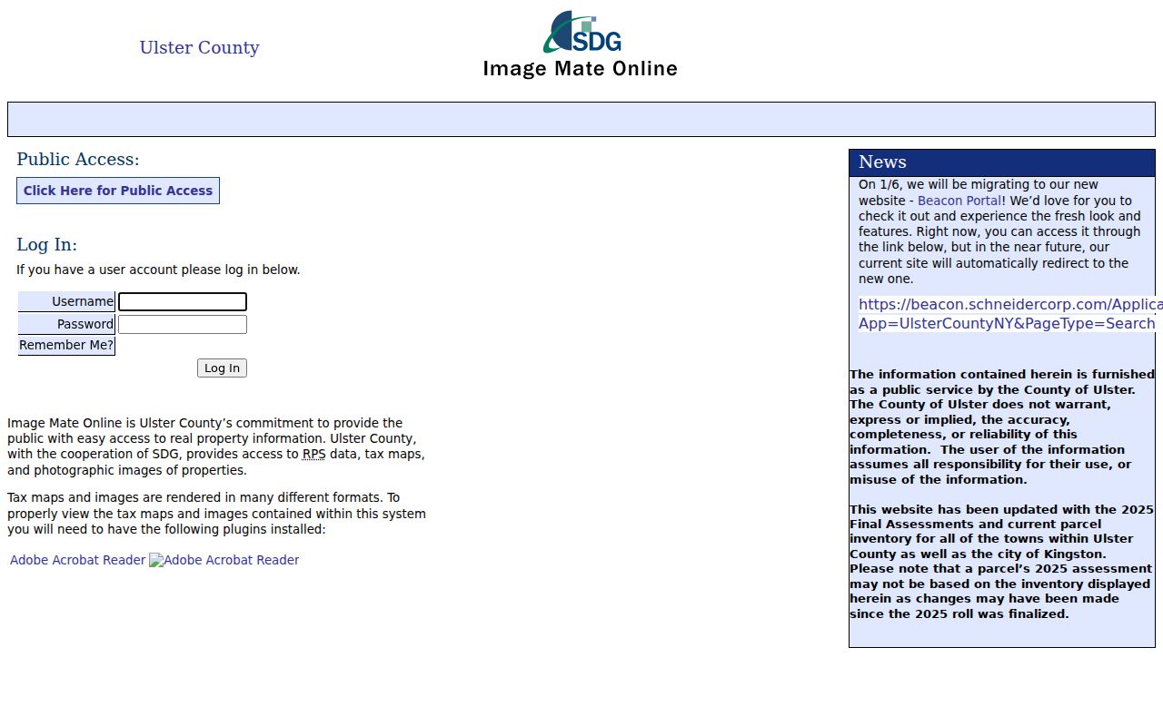
Use the assessor result with its roll date, then compare the parcel number and situs against the county map before drawing any conclusion about an address.
Separate Kingston Situs From Mail
“Owner” and “mailing address” are not synonyms for a person living at the property. The assessor calls owner the ownership field at a stated roll date. The mailing address can belong to a representative, lender, trust, or another delivery recipient. Situs means the property’s physical address. Keeping those fields separate is essential when an owner’s correspondence address is outside Kingston.
- Parcel
- A tax-map unit used to identify land for assessment and mapping. It is a link between map, assessor, and deed records.
- Situs address
- The physical location shown for the property, distinct from a mailing or correspondence address.
- Plat or plan
- A recorded map or plan referenced in a deed that helps describe a parcel. It is stronger boundary evidence than a screen map alone.
- Criss-cross directory
- A historical reverse directory arranged by address, useful for finding a dated household listing after the street is known.
When a map line and a deed disagree, retrieve the deed and referenced plan through the clerk. The legal description and recorded plan provide the stronger evidence for a legal parcel boundary. The map remains useful for orientation, neighboring parcels, and reproducible search notes.
Kingston Address Records by Street
Each address-keyed source answers a narrower question. The street directory method works by comparing them rather than treating one database as complete. County GIS gives the parcel context, assessment materials give a time-stamped ownership field, and the county clerk records conveyances. City departments may create a permit or complaint record, but no public parcel-filtered permit index was located. Ask the responsible department or use FOIL for an existing record.
| Address record | Custodian | What it can show | Access route and caution |
|---|---|---|---|
| Parcel and map record | Ulster County GIS | Parcel number, situs, map context, imagery links, selected-data export | Parcel Viewer; save the query date and do not treat a GIS line as a survey. |
| Assessment roll | City of Kingston Assessor | Owner field, physical facts, exemptions, and possible mailing address | Assessor, Image Mate, or Beacon route; owner is not occupancy proof. |
| Recorded land instruments | Ulster County Clerk | Deeds, mortgages, assignments, satisfactions, and party chain | SearchIQS for 1950 forward, INDEXBOOKS for 1949 and earlier. |
| Permit or code material | Kingston Building Safety | Applications, plans, permits, certificates, inspections, complaints, and reports | Official forms, office, or a focused records request; no parcel-wide public index was located. |
| Election record | Ulster County Board of Elections | Registration data subject to Election Law and exclusions | Exact-match lookup or signed request for an elections purpose; confidential records are excluded. |
A parcel number is the most reliable bridge across the first three rows. The street name links the records, but a house-number change, lot split, merger, or changed municipal label can break a simple address search.
Map Dates in Kingston Street Searches
The Ulster County Parcel Viewer says its parcel boundaries and assessment information are updated January 1, May 1, and September 1. Its disclaimer says the map combines sources, may change, and is supplied without warranties. Save the map date, layer state, query, parcel number, and export name with a Kingston street directory search.
The viewer can select several parcels, buffer them, download selected data, and export a table to CSV. Those tools can document a street segment without claiming that a visual boundary is a surveyed line or that nearby parcels share a household. For historic context, the Library of Congress confirms a 69-sheet 1899 Kingston Sanborn map set. It describes building and neighborhood context, not a census of people.
The official Ulster County Parcel Viewer shows the parcel-search, selection, and export controls used for Kingston street directory work.
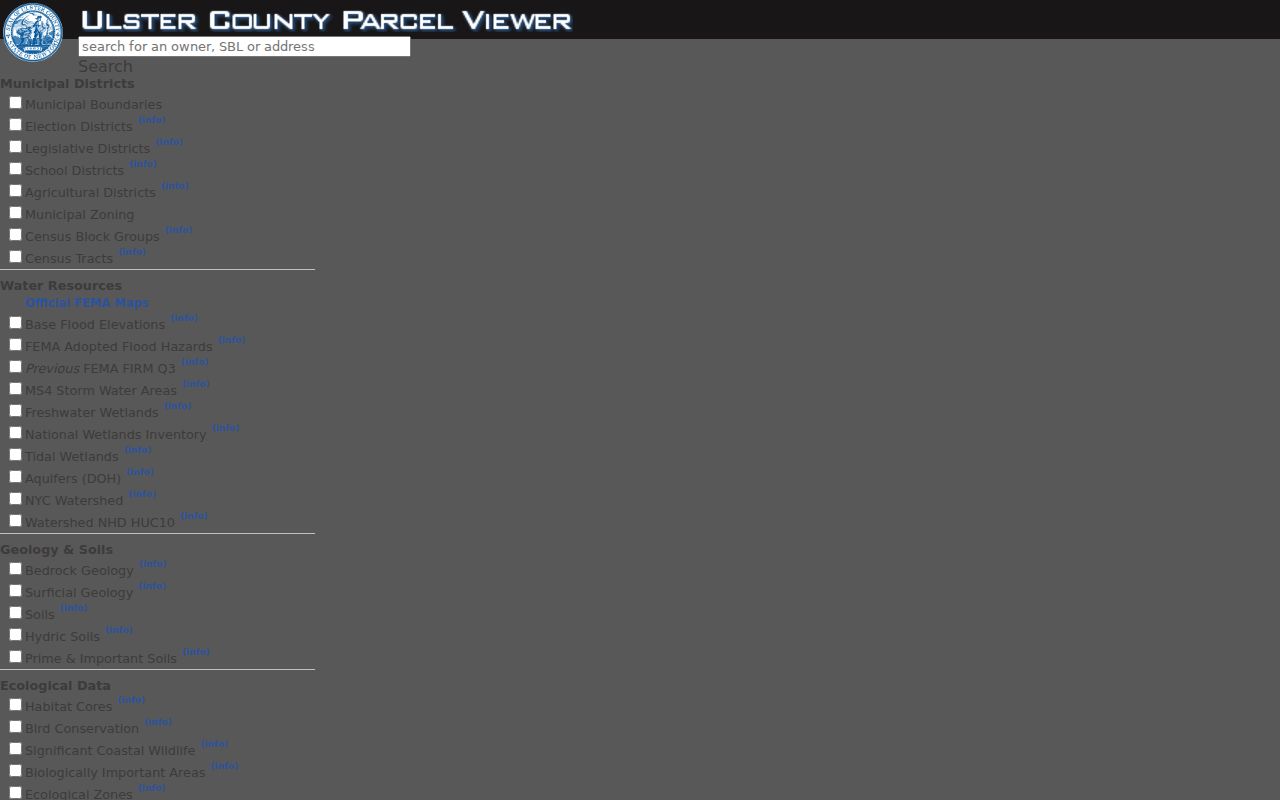
After selecting a parcel, retain the map’s stated date and use the parcel identifier to check the assessment record and clerk-held deed chain.
Trace Kingston Street Deed Chains
For a transfer history, move from the parcel or street address to the county clerk’s land records. The county states that coverage reaches 1685. SearchIQS is the route for 1950 to current material, while INDEXBOOKS is used for 1949 and earlier. Pre-2003 documents use book and page; later records use an instrument number. Search both the grantor, the person transferring an interest, and the grantee, the person receiving it.
The clerk’s House History guide directs users to Search Records as Guest, the blue navigation tabs, the Deeds Document Group, and Book and Page. A result has a View option. The guide describes a recent deed with a cover page, left-hand summary, blue page arrows, and a Print/Download control above the image. The guide says a credit card is required for a recent image and held only for the search session.
Follow prior instrument references and legal descriptions backward. Mortgages, assignments, satisfactions, powers of attorney, and other instruments can explain a change in the chain. Do not assume an unsearched name or a blank online result settles ownership. For records needing direct review, the clerk counter is at 244 Fair Street, second floor, Kingston, Monday through Friday from 9:00 a.m. to 4:45 p.m., telephone 845-340-3288.
Note: A recorded transfer establishes a property interest at the recorded point in time, not a current household list for the street.
Kingston Street Voter Record Requests
The NYS Voter Lookup is an exact-match tool for a registered New York voter. Its visible controls are County, Last Name, First Name, Date of Birth in MM/DD/YYYY format, ZIP Code, and Search. It can return party enrollment, poll-site, and ballot-tracking information as applicable. It does not reveal a person’s ballot choices, and a failed match can result from a typo, changed registration, address formatting, or an officially protected record.
A street-wide name list is not supplied through that public lookup. The Ulster County request route asks for requester identity and contact information, scope by political subdivision and party, and a statement that the records will be used for an elections purpose under Election Law §3-103(5). The signed request is mailed to the Board of Elections. Public inspection and file access have different rules from the online screen.
For a historical address, a dated reverse directory can sometimes add a street-based listing. The directory collections themselves belong to the historical-records work in the Kingston city directories; use an entry as a dated lead and verify it against the parcel and deed trail.
Kingston Street Permit Fallbacks
Building Safety creates address-linked material including applications, plans and specifications, permits, certificates of occupancy, inspection and test material, complaints, investigations, statements, reports, and fee records. Its official page supplies forms and online permit and report routes, but research did not locate a public parcel-filtered permit database. A page that does not return an address hit is not proof that no city record exists.
For a particular record, contact Kingston Building Safety with the situs, parcel number, record type, and date range. For city-created material not made available there, submit a focused request through Kingston’s FOIL route. The ordinary 311 intake is not the FOIL channel. County-created records instead belong with the Ulster County FOIL information route.
New York Freedom of Information Law is Public Officers Law Article 6, sections 84 through 90. A request must reasonably describe an existing record. Agencies generally grant, deny, or acknowledge within five business days under §89(3)(a), and a later date can be stated in the acknowledgment. The ordinary copy rule is generally $0.25 per page under §87(1), subject to the research’s stated limits for larger or specialized reproduction.
Kingston Street Directory Privacy Limits
A Kingston street directory cannot identify every person at an address. The property roll records ownership and assessment context. It does not prove occupancy. USPS validates delivery form, not the recipient. A map can locate a parcel, not establish a legal survey or a household. Voter records also have confidential-registration exclusions, and court, vital, and safety records carry their own access limits.
The New York Address Confidentiality Program provides eligible participants with a substitute mailing address while the physical address remains confidential. It operates separately from confidential voter registration under Election Law §5-508. A missing result in either protected system must never trigger efforts to reconstruct a protected location from other records.
Lawful personal use. Use Kingston address records for legitimate personal, family-history, property, or civic research. Do not use them to stalk, harass, intimidate, or expose a protected person.
Note: Record the custodian, record type, date, and any uncertainty, while minimizing unnecessary personal details in notes or citations.