
Kingston Neighbors by Block Source
Records about the parcels around one address are not a list of everyone who lives there. The county map is the starting point because it makes the geographic question repeatable. The assessor identifies an ownership field at a roll date. Deeds establish recorded transfers. The ward map provides election geography, and local organizations can point toward community activity. Taken together, those layers describe a block without claiming that a name on one record proves present occupancy.
| Source | What It Shows About a Block | Access |
|---|---|---|
| Ulster County Parcel Viewer | Address, owner, parcel number, map selection, imagery, and selected-parcel tools | Public county viewer |
| Kingston Assessor | Assessment roll, ownership information, physical facts, exemptions, and mailing-address route | Office and linked parcel routes |
| County Clerk land records | Deeds, legal descriptions, and a dated chain of transfers | Online routes plus clerk access |
| Kingston ward map | Nine current wards for election orientation | Public city map |
| Local civic organizations | Community-resource and history leads, not a member roster | Organization contact route |
Use a dated record as a record of its custodian and time. A nearby parcel, a shared boundary, or the same ward can explain a map relationship. None establishes a relationship between the people connected to those parcels.
Defining Kingston Neighbors First
Before searching, choose a reproducible definition. It might mean parcels sharing a boundary, addresses on the same block face, parcels within a stated map buffer, or parcels in the same tax-map section. Write that definition down with the search date. The county viewer's Select Parcels tool can gather multiple parcels, create a buffer, download selected data, and produce a print or export. That is useful for a map question, not a shortcut to a household list.
Visual proximity can mislead. A corner lot may face a different street, a tax-map section can include more than one neighborhood, and a shared line does not show interaction. Save the query term, parcel number, layer state, exported filename, and viewer date so another person can understand the exact Kingston block question that was asked.
Note: County parcel boundaries and assessment information are updated on January 1, May 1, and September 1, and the viewer says map information may change.
Map a Kingston Block Around an Address
The parcel viewer is Kingston's primary geographic index. Search by address, owner name, or parcel number. When a full address does not resolve cleanly, search the street name and narrow by section-block as the county instructs. Click the target parcel, open its Complete Parcel Information, and use selection or buffering only after recording the target parcel. The map supports street-level and aerial imagery, but the recorded deed and legal description remain stronger when a visual line conflicts with the record.
- Find the target address in the county viewer and save the returned parcel number, situs, municipality, map date, and query form.
- Select parcels that meet the stated block, shared-boundary, or buffer definition, then retain the map export or CSV where appropriate.
- For each parcel, compare the assessor roll's owner field and mailing field without treating either as proof of occupancy.
- Use the county clerk's deed route only when a dated transfer or legal description needs confirmation.
- For a whole named street rather than an immediate block, use the fuller Kingston by-street directory method.
Parcel selection can show physical context for Kingston neighbors, but an owner label is not a census of residents. Mark uncertainty rather than filling it with a name from another source.
Kingston Parcel Owners and Occupants
The assessor describes records containing physical characteristics, ownership information, exemptions, and mailing-address correction. Those are assessment fields. A mailing address may belong to a trust, lender, representative, or another delivery recipient. A roll is also time-stamped. A change after the roll date, an unrecorded occupancy change, or a protected address can leave the map and the household situation out of sync.
When an ownership question matters, trace it through the Ulster County Clerk. Land records reach 1685, with SearchIQS identified for 1950 to current and older index books for 1949 and earlier. Keep the instrument or book/page, parties, date, and legal description. A deed clarifies a transfer. It does not prove who occupies a property today.
Kingston Wards and Historic Areas
Kingston's nine wards follow the 2020 Census on the city's 2024 ward map. They are useful for election geography and for orienting a block, but a ward is not the same thing as a neighborhood. The city's working historic areas also have distinct histories: Stockade or Uptown retains an early street plan; Rondout developed as a canal port after 1828; and Midtown grew around Broadway, Cornell Street, Greenkill Avenue, the railroad, and later corridors.
The Historic Landmarks and Preservation Commission identifies Stockade and Rondout-West Strand historic districts and directs researchers to library and Hall of Records material. Historic districts, wards, ZIP areas, and parcel boundaries are separate systems. A useful neighborhood note names which system is being used and does not convert a civic or historic label into a personal affiliation.
Kingston Neighborhood Civic Leads
Kingston's City Council liaison page names organizations that can serve as community-resource leads. The list is not a directory of households and no centralized current association directory with street-level member records was located. Contact an organization about public programs, local history, or its own published material instead of assuming it can identify Kingston neighbors on a particular block.
Uptown Business Association
Named on the City Council liaison page as a Kingston organization and useful for public community leads.
Midtown Business Association
Also listed by the city liaison page. Its named geography should not be substituted for a ward or parcel boundary.
Rondout Business Association
A city-listed civic lead for the waterfront area, where postal and municipal labels can differ.
Kingston Improvement Association
The association says it was founded in 1884 to preserve Kingston Village and promote safety, welfare, and public enjoyment.
Source context matters. A business association can explain a local program or public event, while a parcel map answers a geographic question. Neither source should be used to publish a roster of private household connections.
A City Council liaison inventory shows the civic-organization page used for this section.
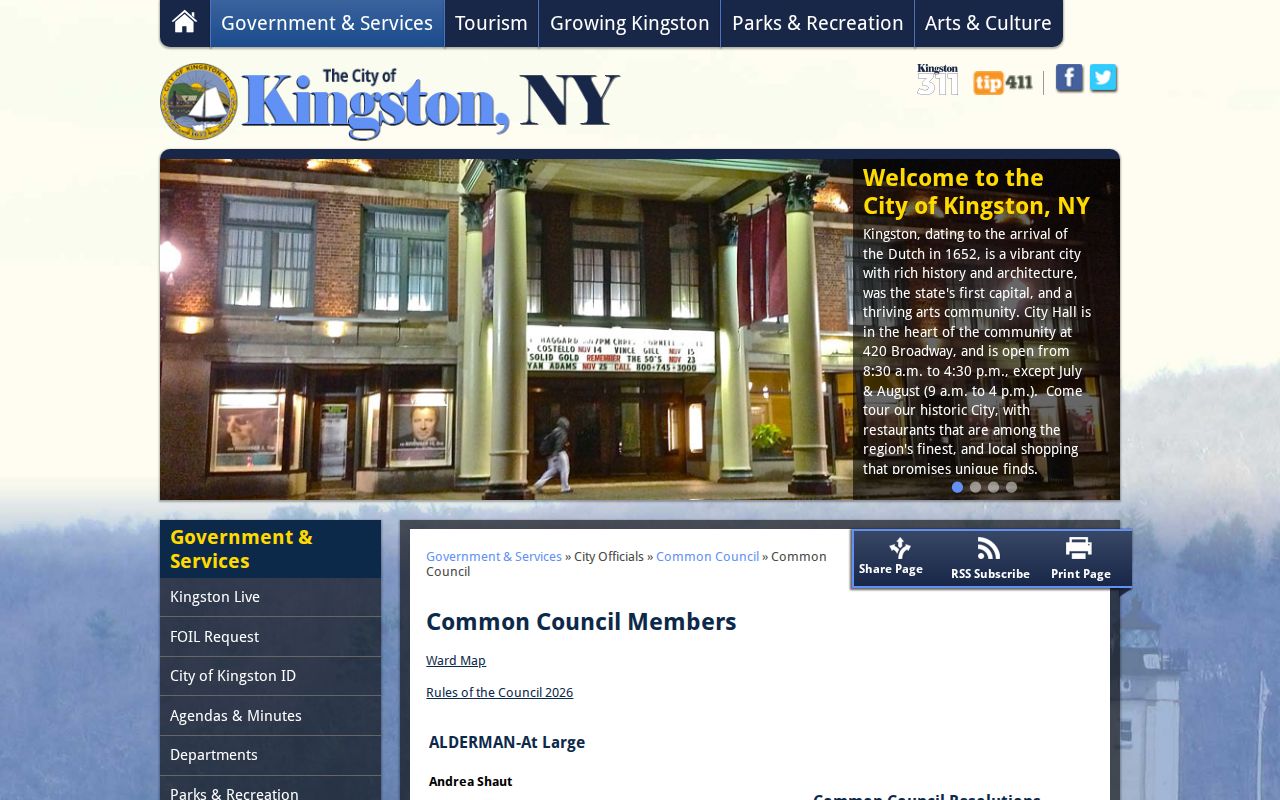
The image documents the public community-resource route, not a current neighborhood membership list.
Kingston Neighbors: Official Records Compared
Official sources and commercial neighbor tools answer different questions. The official sources are dated and limited, but they identify the custodian and allow a record to be checked. Commercial tools often combine sources of uncertain date and may blur an owner, an old address, and an occupant. Use the map, clerk, assessor, and election office only for the narrow purpose each source supports.
| Source category | Useful question | Built-in limit |
|---|---|---|
| Official parcel and assessment records | Which recorded parcel and assessment owner field match an address? | Not proof of current occupancy or a legal boundary survey |
| Official deed records | What recorded transfer and legal description affect the parcel? | Ownership chain is not a household roster |
| Commercial neighbor tools | General discovery lead only | May be inaccurate, stale, or unclear about source and date |
Voter data has separate rules. New York's public registration-list description differs from the online lookup, and an Ulster County file request requires the election-purpose statement described by Election Law §3-103(5). A request cannot be repurposed as a general block-resident search. Confidential registration under Election Law §5-508 is excluded from ordinary public inspection.
Kingston Neighbors in 1899
The Library of Congress Kingston Sanborn record confirms a 69-sheet 1899 fire-insurance map set. A sheet can place buildings and nearby structures in their historic relationship. It can support a block-history question after the parcel and directory work are anchored. It cannot identify a current household or substitute for a later deed.
Use the historical map beside a date and a source citation. A Stockade grid or Rondout waterfront context can help explain an address, but a present block map must carry its own current date.
The Ulster County Parcel Viewer is the modern map route for a Kingston neighbors question.
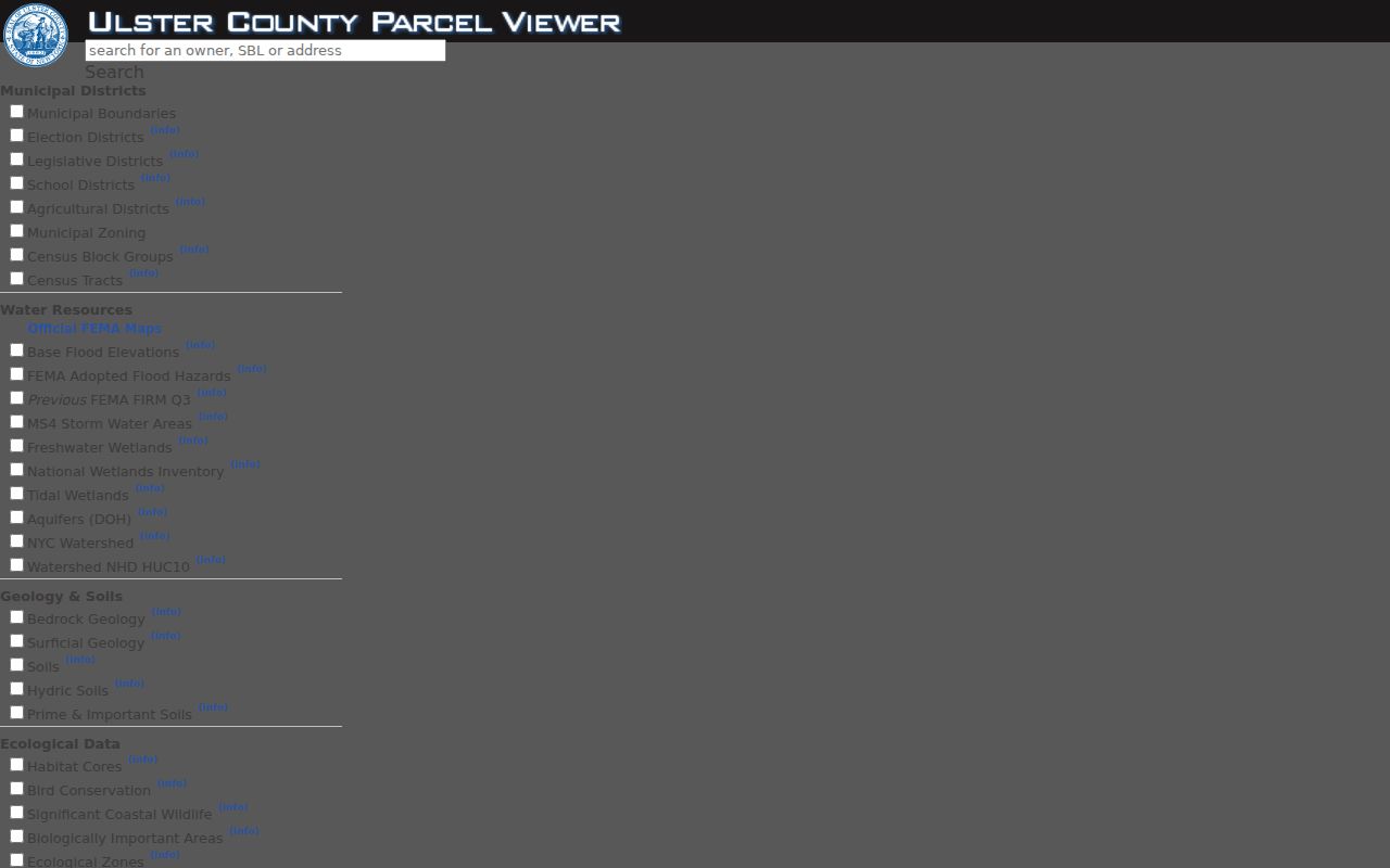
The viewer image shows the county's public search interface used to anchor a repeatable parcel question before any adjacent selection.
Privacy Limits for Kingston Neighbors
Privacy limits belong beside the record being used. The county viewer warns that its information comes from multiple sources and may change. The state Address Confidentiality Program supplies a substitute mailing address for eligible participants under Executive Law §108 while the physical address remains confidential. Court systems, vital records, and voter registration have their own protected or restricted categories. A missing result can reflect those limits, a date mismatch, or a different address format.
Do not publish full birth dates, private telephone numbers, direct household connections, or a confidential physical location. A useful research note names the custodian, record type, query date, and limit without copying more personal data than the block question needs.